GISIntegration
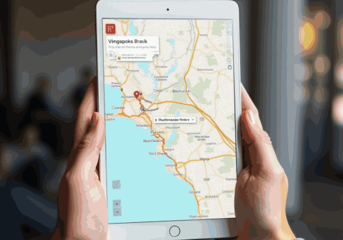
360S2G’s GIS module offers a real-time interactive map showing pipelines, meters, and assets with toggleable layers for leaks, shutoffs, and pressure zones.
Visualize Your Network with 360S2G GIS
360S2G’s GIS module gives utilities a dynamic, map-based view of their entire infrastructure. Instantly visualize pipelines, meters, assets, and service zones layered with real-time data from CIS, SCADA, AMI, and field operations.

Smarter Utility Planning with Spatial Insights
With 360S2G’s GIS-powered intelligence, utility leaders can make better decisions using geographic and operational data. Analyze high-risk zones, aging infrastructure, and resource distribution all from one spatial interface.

Seamless GIS Integration Across 360S2G Solutions

CIS360
Easily connect customer accounts to mapped service points for faster issue resolution and better service tracking.

SCADA Systems
Overlay live SCADA data on GIS maps to detect anomalies and respond quickly to system events.

Work Orders
Assign and route jobs efficiently using GPS-based work order mapping and asset location data.

Billing Modules
Apply accurate zone-based billing and monitor usage patterns geographically.
Empower Field Teams with Mobile GIS from 360S2G
360S2G equips your field teams with mobile GIS access allowing them to locate assets, collect data, and update records in real time. This reduces response times, improves accuracy, and connects the field directly to your control center

